|
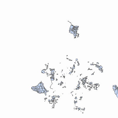
Width: 400 Height: 400 Extent:
YMin: 261858.23523604247 XMax: 1557608.8519502925 YMax: 546243.8500448855 Spatial Reference: 103142 (6565) LatestVCSWkid(0) Scale: 819030.5706494678 |
| ArcGIS REST Services Directory | Login |
| Home > services > PublicMap > Rev911_PublicMap (MapServer) > export | API Reference |

|
Width: 400 Height: 400 Extent:
YMin: 261858.23523604247 XMax: 1557608.8519502925 YMax: 546243.8500448855 Spatial Reference: 103142 (6565) LatestVCSWkid(0) Scale: 819030.5706494678 |